![]()
![]()
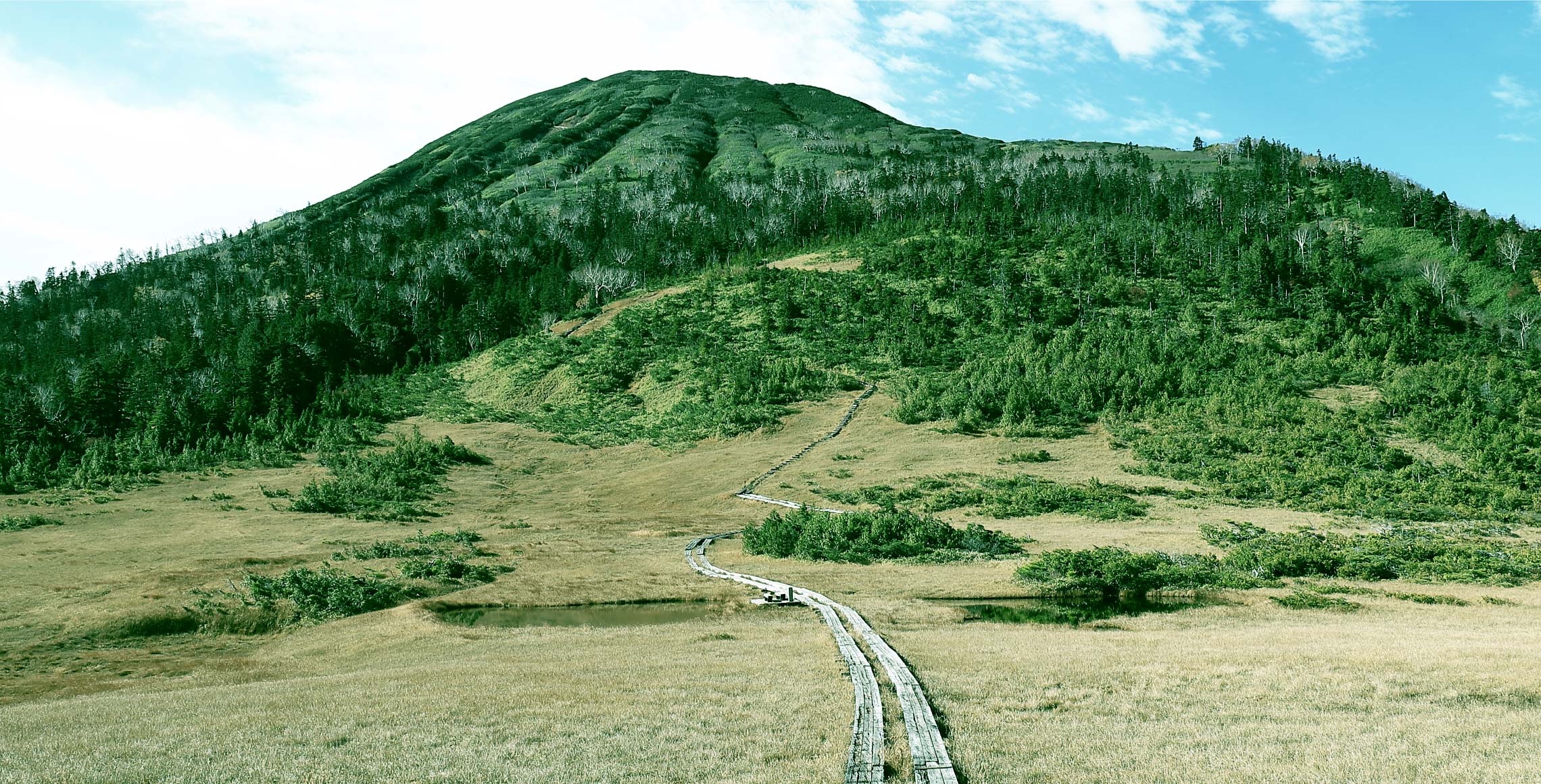
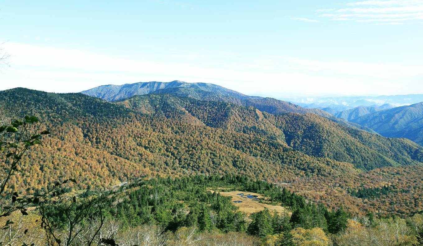
After passing through Kumazawa-tashiro marsh, which boasts one of the most beautiful scenery in Oze, visitors can enjoy traversing, the steep climbs along the streams, and the challenging climb up Mt. Hiuchi, the highest peak in Oze. From the two summits, visitors can gaze across the entire mountain range in all four directions.
 A steep climb from the trailhead
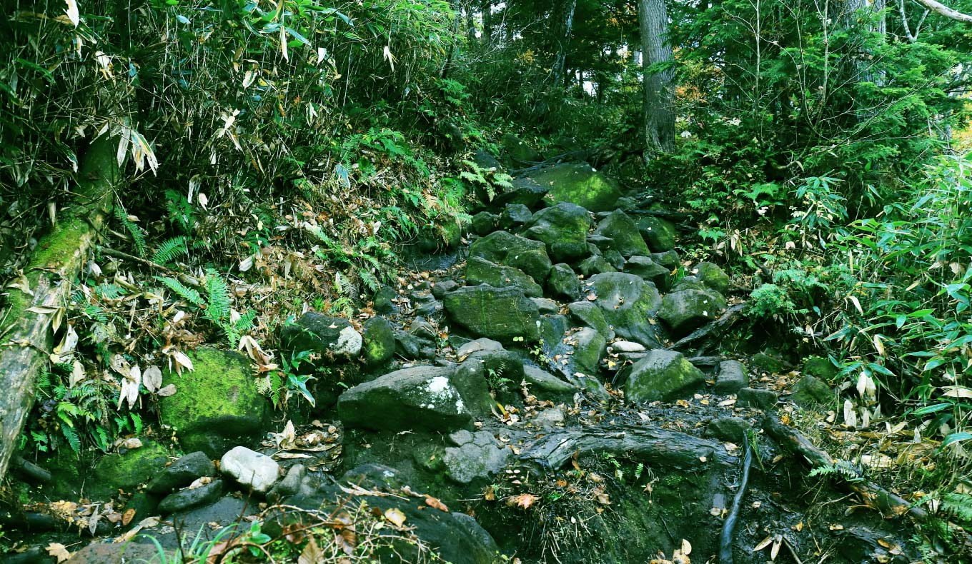
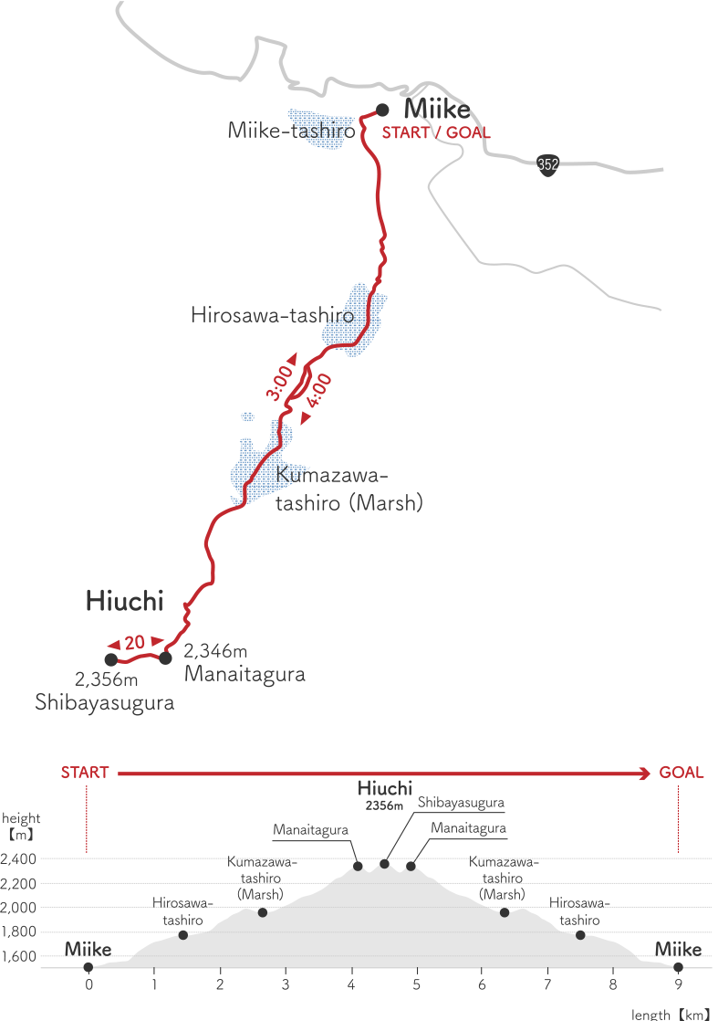
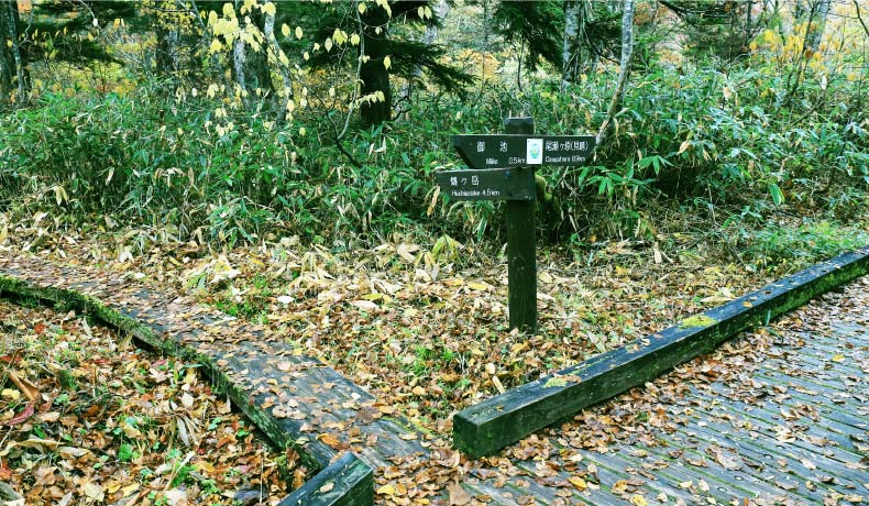
As soon as you enter the Miike trailhead, turn left at the junction to start the Mt. Hiuchi climb. This trail ascends the base of the mountain in the shape of a tiered doll stand that has two Tashiro marshes. The approach to each platform is a steep climb. If you feel out of breath, take short breaks for a few minutes and start again.
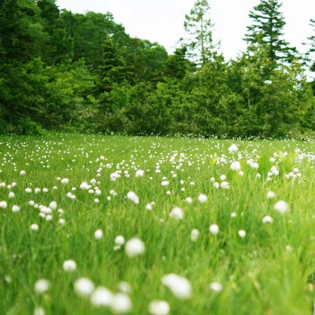
 Hirosawa-tashiro marsh
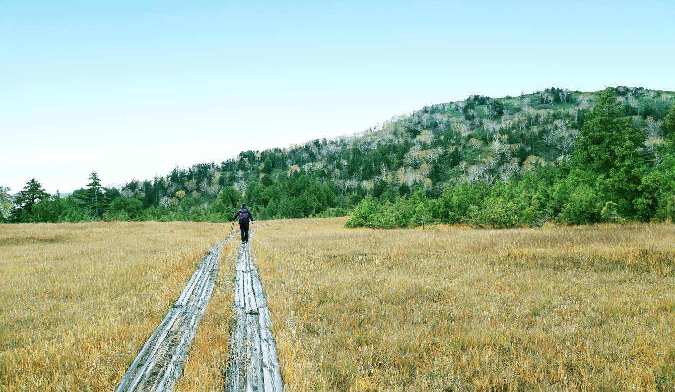
The Tashiro marsh spreads out flatly as if it is a reward for conquering the steep, dark, and damp climb. There is a large colony of cotton grass here, which is at its best from early to mid-July.
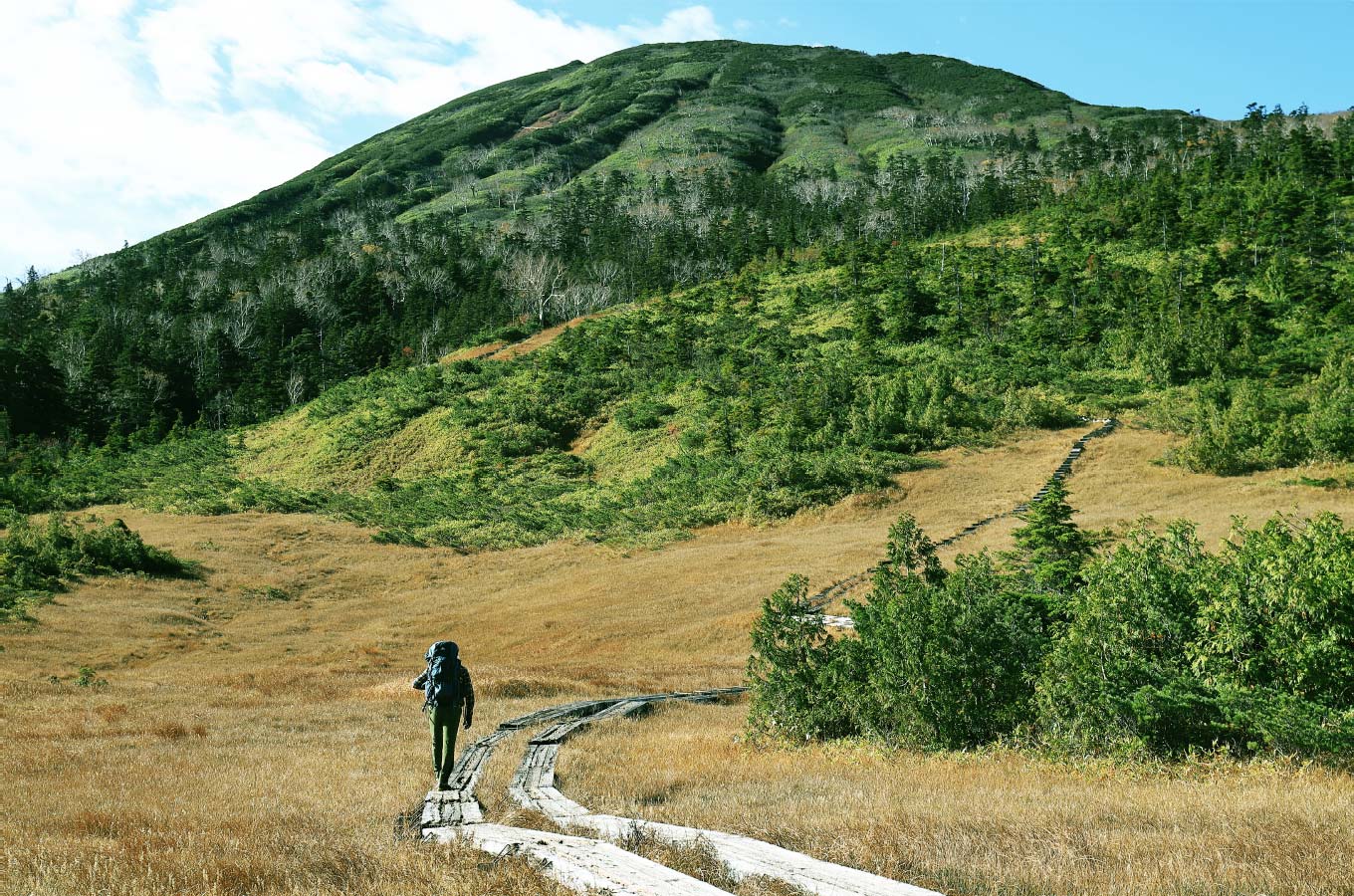
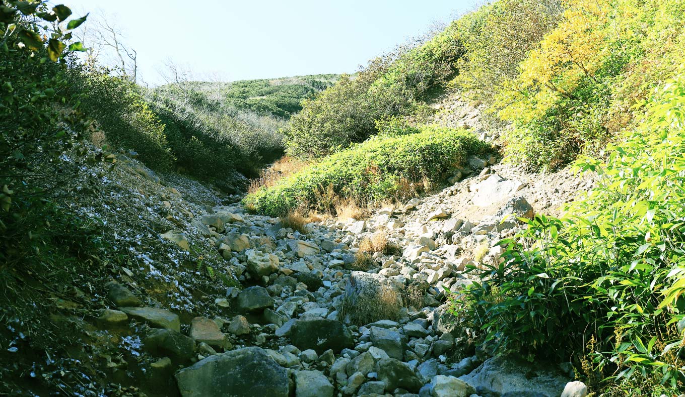
 The steep climb between the Tashiro Marshes
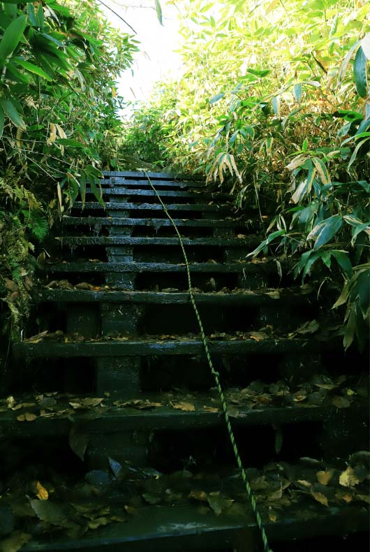
After crossing the Hirosawa-tashiro marsh, the climb is steep again. But unlike the first climb, you will get to see more of the sky. Turn around and you will be able to see the ridgeline of Mt. Aizukoma.
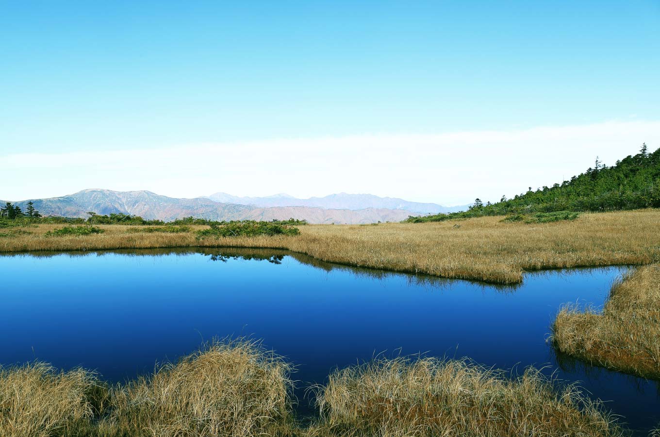
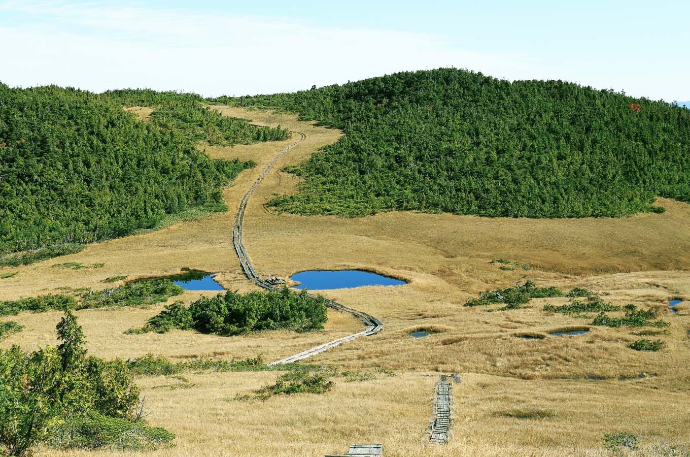
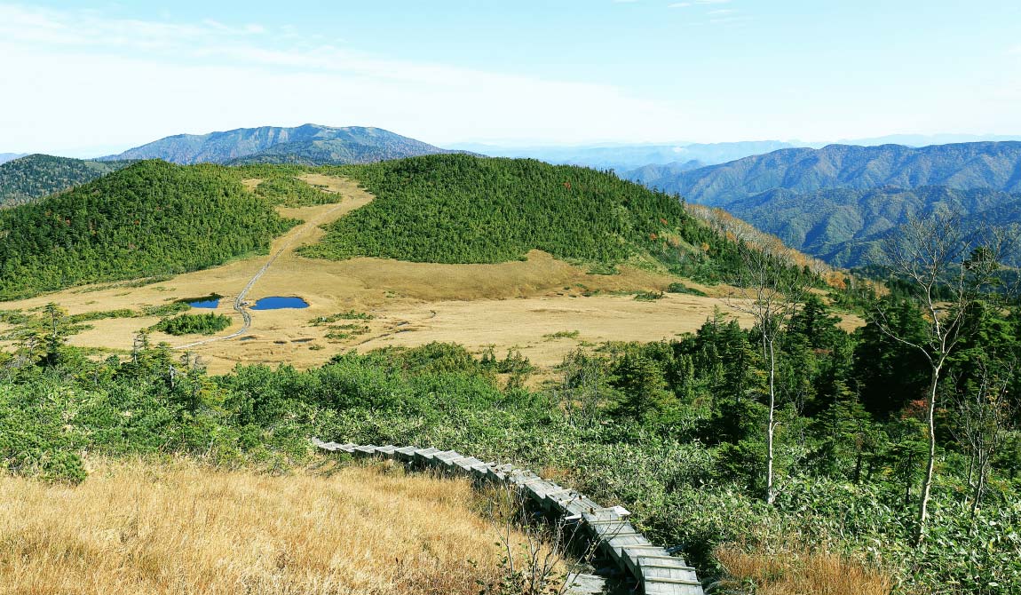
 Kumazawa-tashiro marsh
After the second steep climb, a long, vertical marshland unfolds. This is the Kumazawa-tashiro marsh, one of the most beautiful scenery in Oze. There are two ponds at the saddle of the Tashiro marsh. On a clear day, the ponds will reflect the blue sky and help you to recover your fatigue from the climb.
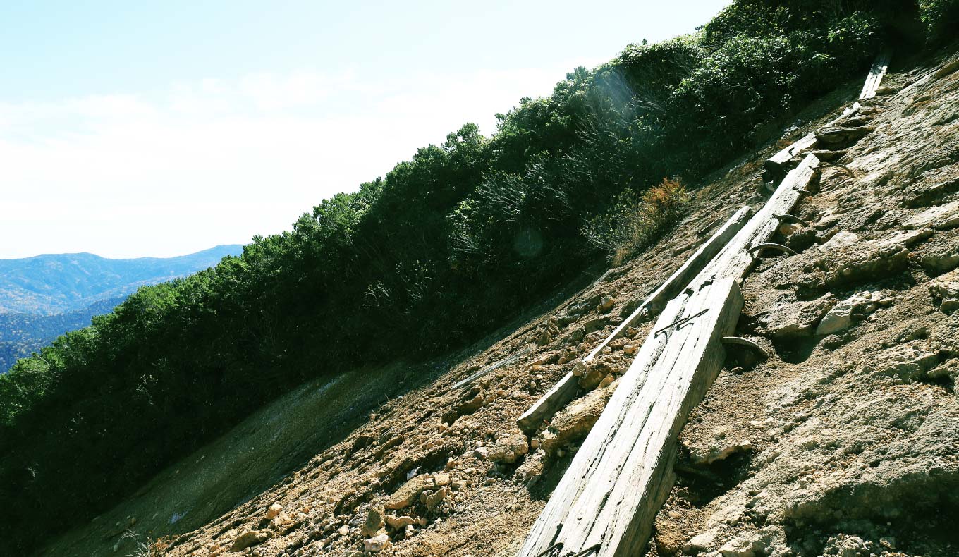
 Traversing through rocky ridges and rough terrain
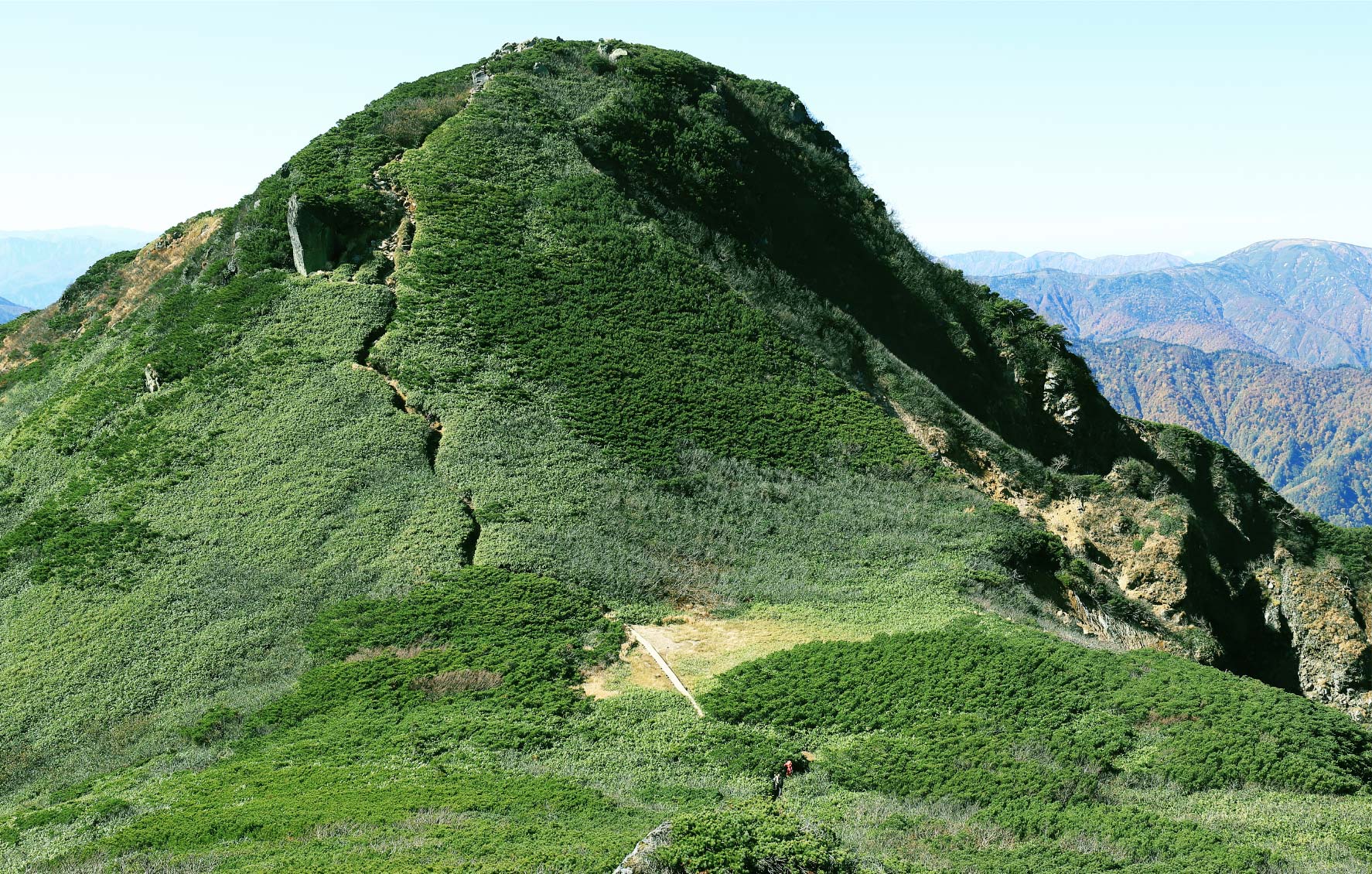
Once you cross the Kumazawa-tashiro marsh, it is time to go and head for the peak. Traverse across the rocky ridges and rough terrain along the stream as the face of the mountain looks more volcano-like. On a clear day, the trail is pretty straightforward, but be careful when it is wet and snowing. Proceed with caution.
 Climbing to Manaitagura Summit
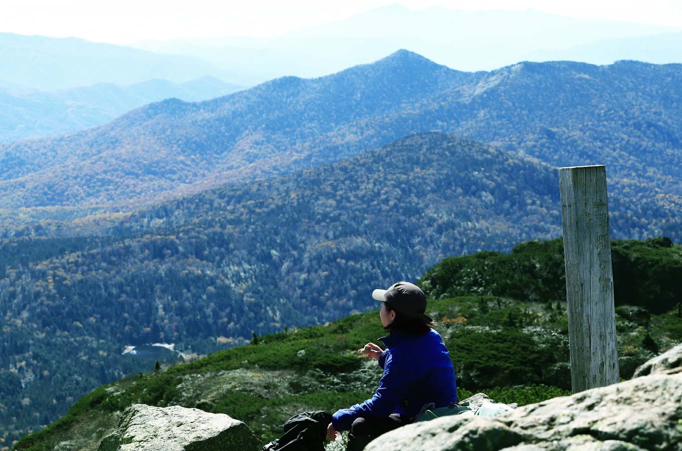
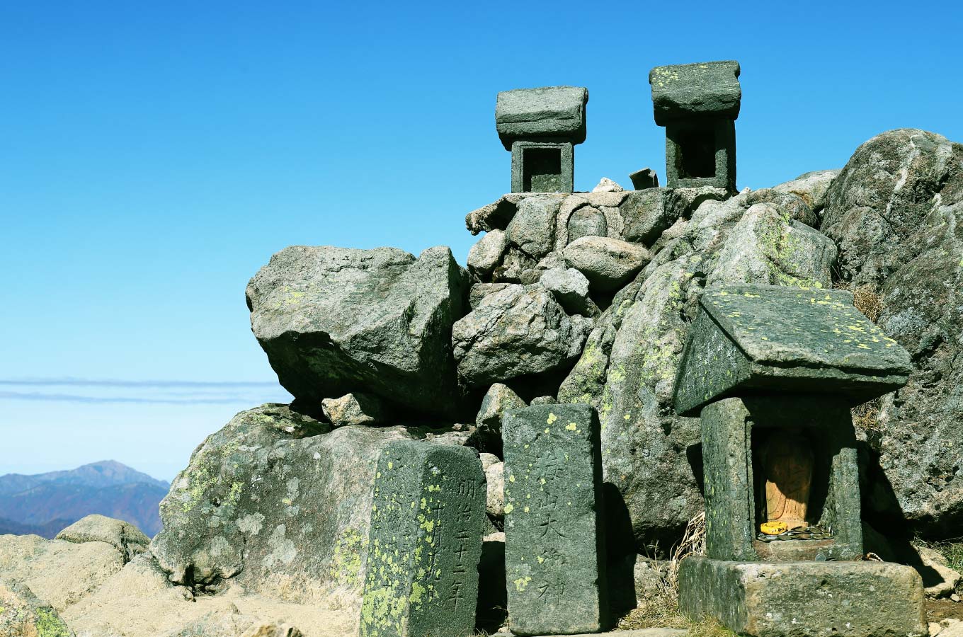
Normally it takes four hours to reach the summit of Mt. Hiuchi. The first ascent on this course is the Manaitagura Summit. It is 2,346 meters above sea level. If you look up, from the Lake Ozenuma below, you will see Mt. Nasu, Mt. Nikko-nantai, Mt. Nikko-shirane, and the mountains of the Kanto region. Looking north, visitors can see Mt. Aizukoma, and the mountains of the Tohoku region continue towards the horizon. At the summit is Hiuchi Daigongen, a stone shrine carried and erected by Chozo Hirano, the founder of the mountain.
 Climbing to Shibayasugura Summit
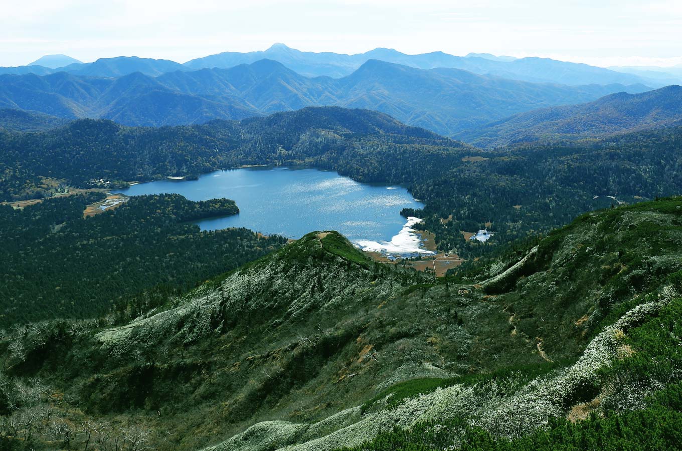
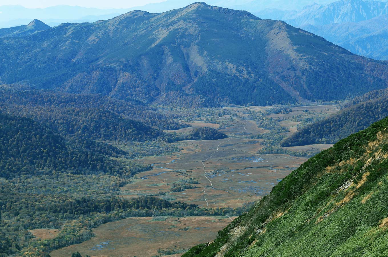
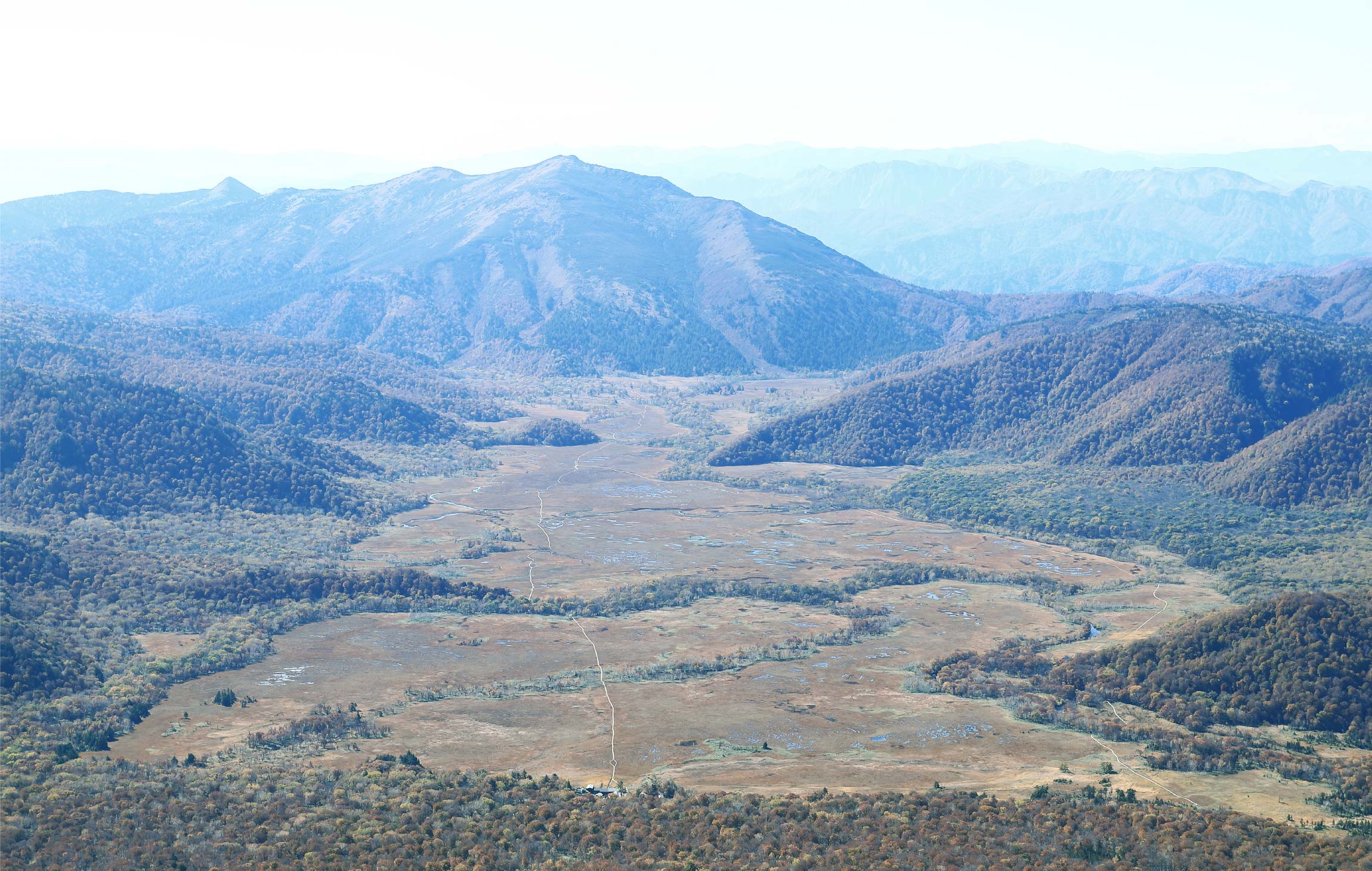
The peak across from Manaitagura Summit is Shibayasugura Summit. The elevation is 2,356 meters above sea level, the highest point of Mt. Hiuchi. Below, you will find the Ozegahara Marsh. Mt. Hiragatake and Mt. Echigosanzan can also be seen.
Walk steadily without rushing on the return leg.
As is the case with mountaineering in general, your feet and legs should be sturdy even if they are tired on the way down. Be careful not to fall or slip. If you are not confident about your knees, using tape or a supporter is another option. Also, when descending high steps, secure yourself with the three-point technique and make sure you can land safely.
Be careful of the lingering snow in spring and early summer.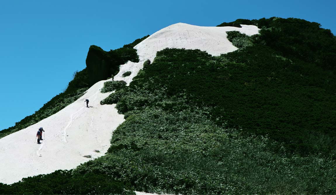
This route climbs the north face of Mt. Hiuchi. It is well known that the mountain ridges on the northern side, in the northern hemisphere leaves snow until the end. Watch out for the lingering snow and carry crampons and ice axes depending on the conditions. Those without snow equipment should avoid mountaineering in the snow.
