![]()
![]()
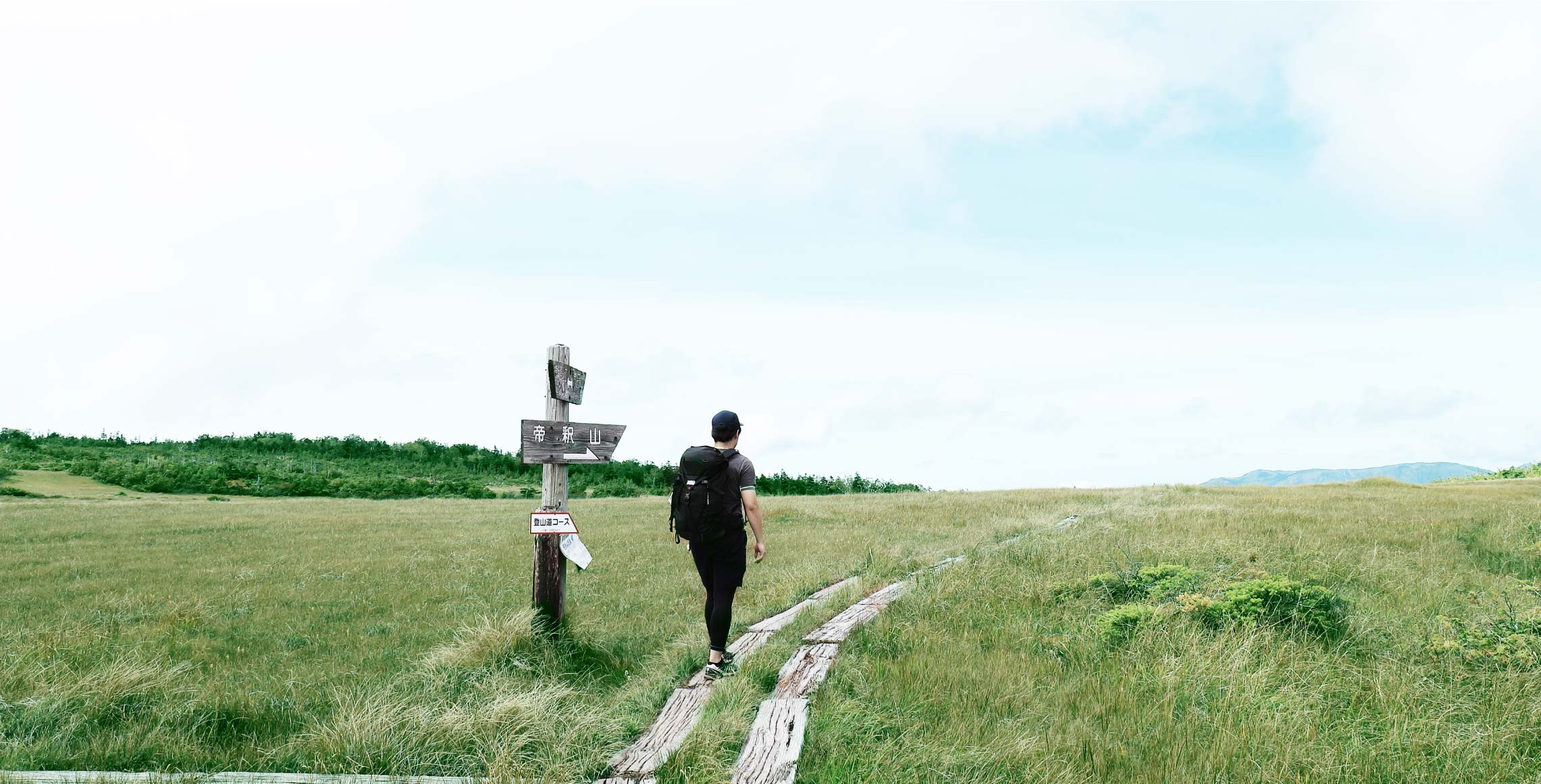
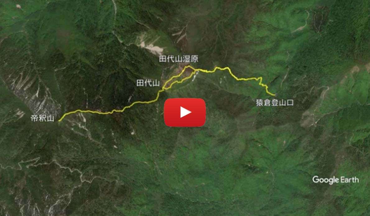
In this course, visitors can traverse Mt. Tashiro, popular for its distinctive mountain features with a large marshland at the summit, as well as the splendid Mt. Taishaku deep in the mountains of Oku-aizu. Located on the dividing line between the Pacific Ocean and the Sea of Japan, there are many kinds of plants to discover.
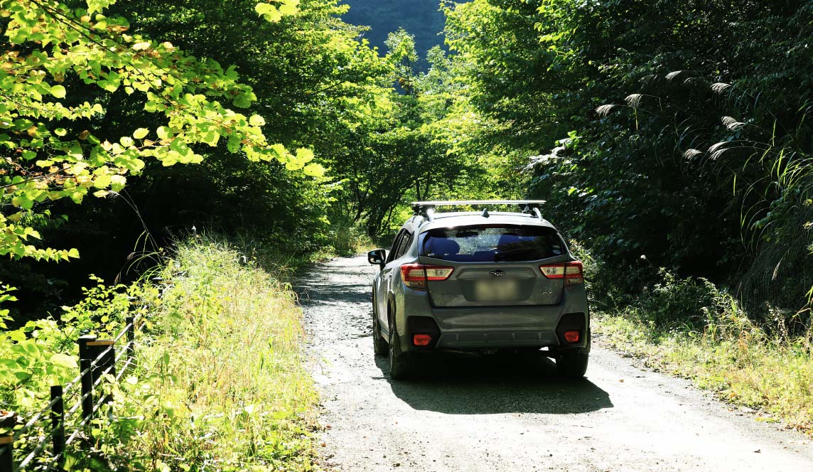
 A Prefectural Road with an unpaved section
The Prefectural Road Route 350 (Kuriyama Tateiwa Route), which connects National Road Route 352 and the Sarukura trailhead, has many unpaved sections after passing the community of Mizuhiki. There are no particularly dangerous sections, but it will take about 40 minutes to an hour to reach the Sarukura trailhead from the National Road, so please consider the overall time required for the hike.
Shuttle taxis are also available at Aizu Kogen Ozeguchi Station to the Sarukura trailhead (Click here for more information about services from 2021).
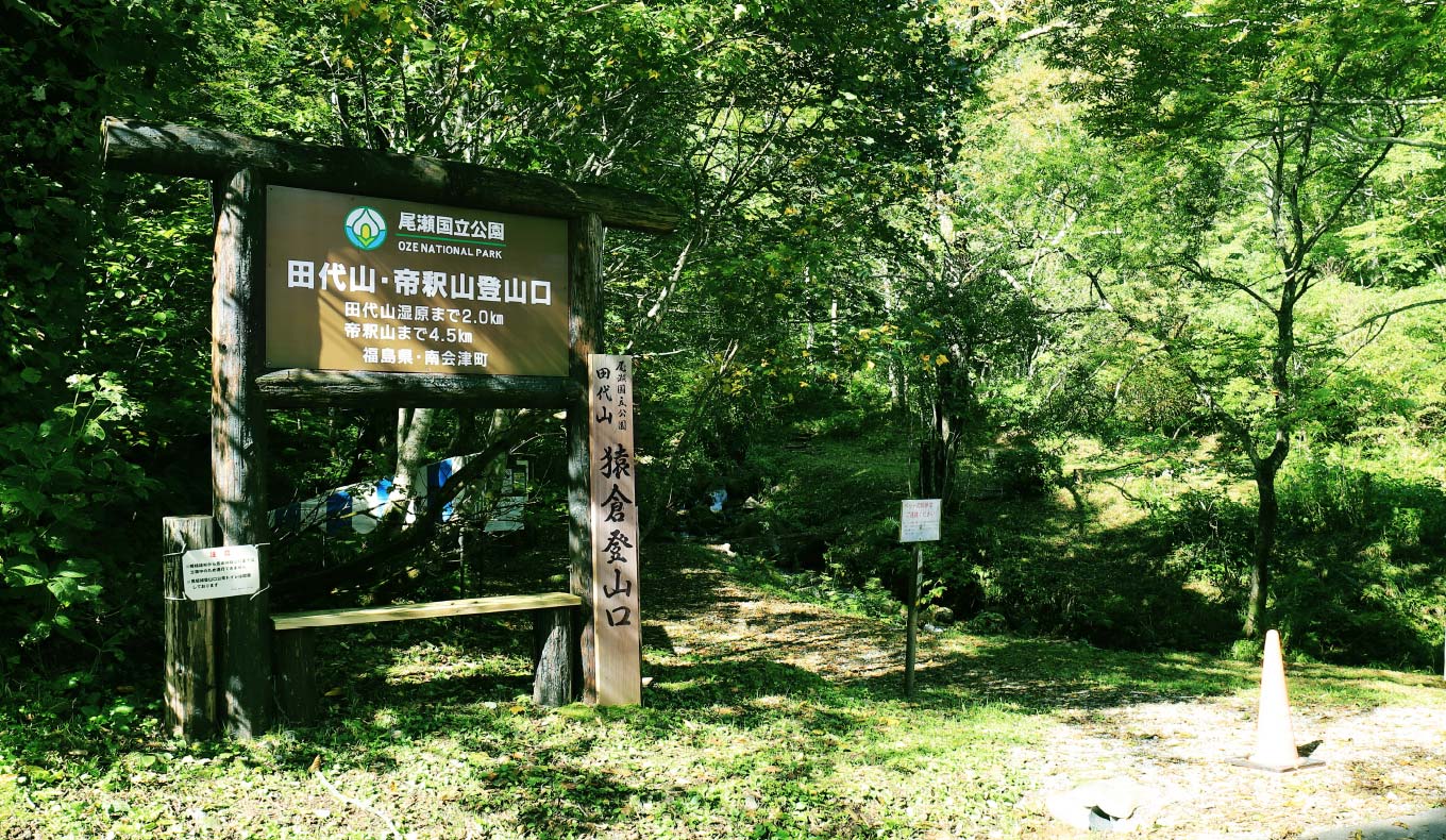
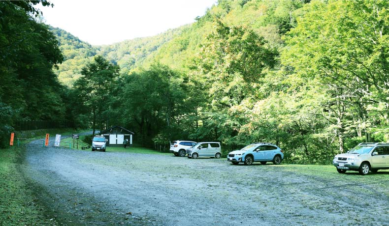
 Sarukura Trailhead
There is a parking lot (approx. 40 cars) 200 meters before the trailhead with clean toilets as well. Please note that it is not possible to pass through to the Tochigi Prefecture side here.
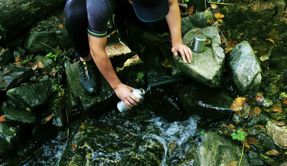
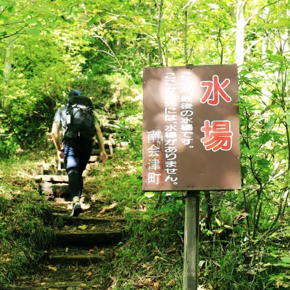
About 10 minutes after passing the trailhead, you will reach a water refill place. The water source is from the Yunomata River and is clean and cool even in summer. There are no water refill places pass this point, so if you are worried about your water supply, make sure to fill up here.
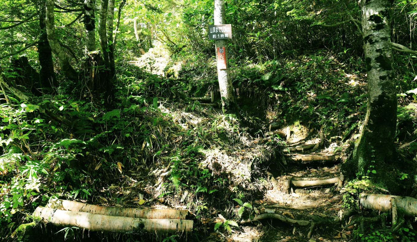
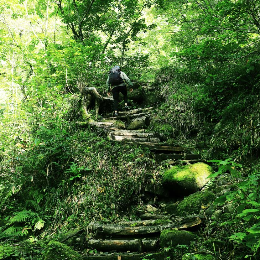
 From the Forest Zone to Kotashiro to the Summit
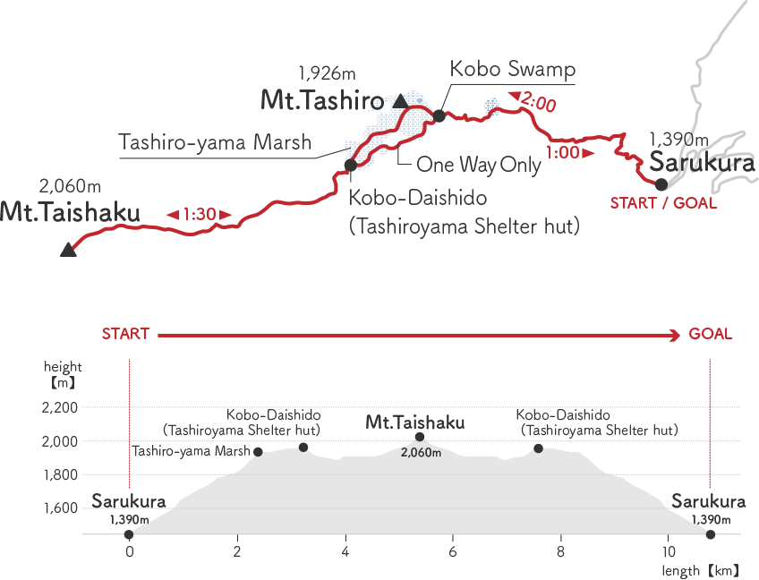
It takes about two hours from the trailhead to the summit of Mt. Tashiro. It is a steep and winding ascent, but the paths are well maintained and easy to walk on. The view opens up just before the summit at Kotashiro.
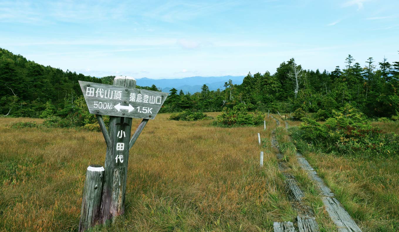
 Tashiro-yama Marsh
The top of Mt. Tashiro is a single plateau marsh (approx. 20 hectares), which is considered rare globally. The highest point is 1,971 meters above sea level, making it a high marsh. It has the same altitude as the marsh of Mt. Aizukoma and the Kumazawa-tashiro marsh of Mt. Hiuchi.
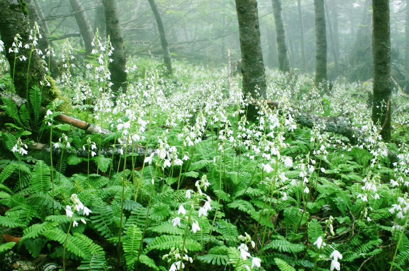
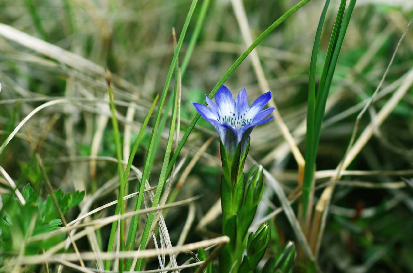
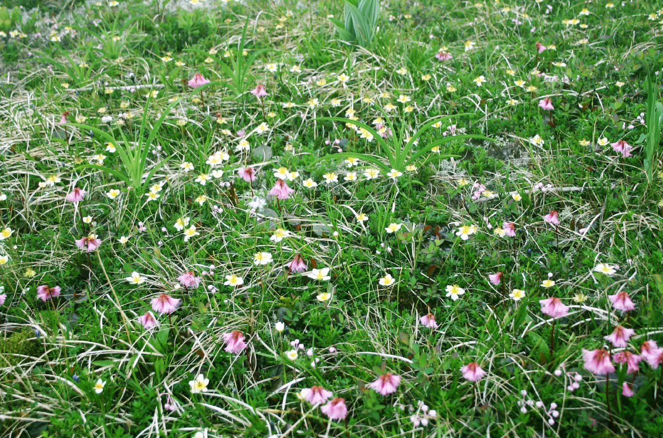
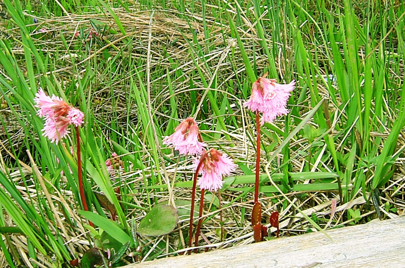
Mt. Tashiro was nominated as one of the 100 most famous mountains in Japan for flowers by the author Sumie Tanaka. The mountain is rich in alpine flora, with Kinkoka (Narthecium), cotton grass, Iwakagami (Schizocodon Soldanelloides), Tateyama gentian, bog rosemary, and dew plants.
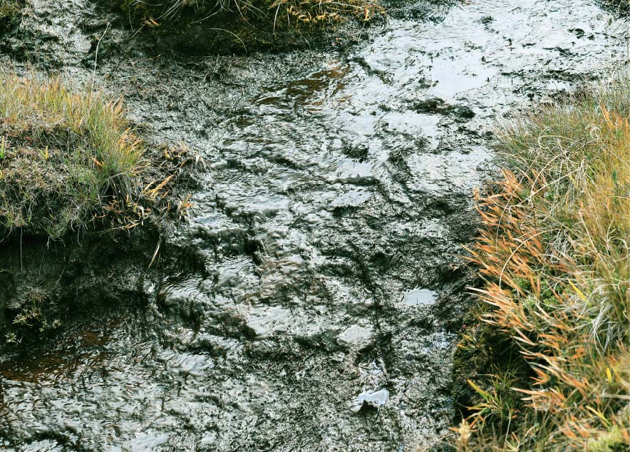
How can there be a marsh on the top of a single plateau with no in-flowing rivers?
The answer is the peat. This is because the peat layer stores moisture from the lingering snow and rain like a sponge.
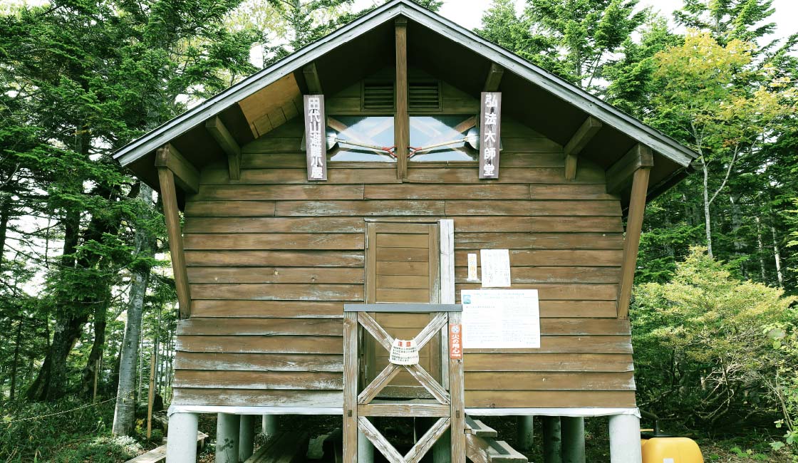
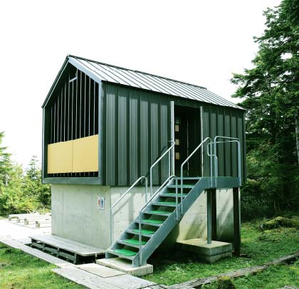
Near the junction to Mt. Taishaku, there is a shelter hut that also serves as a temple called Kobo-Daishido. There are also clean toilets next to it.
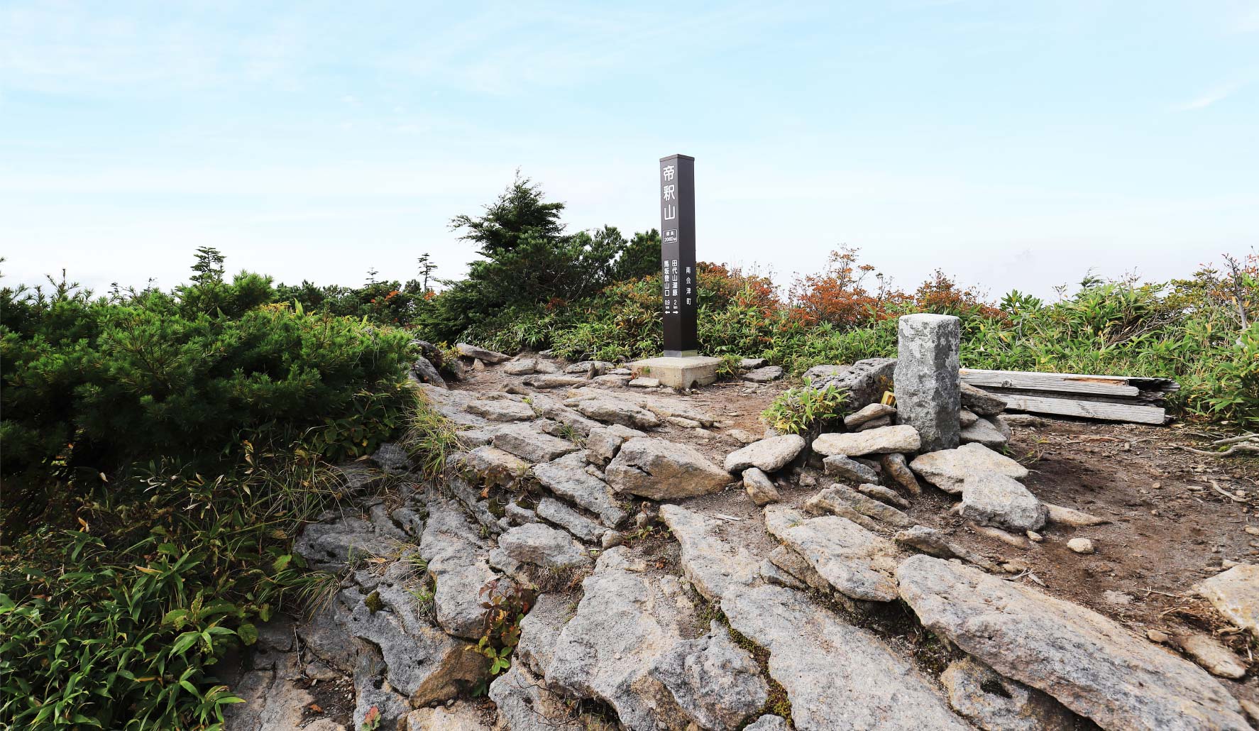
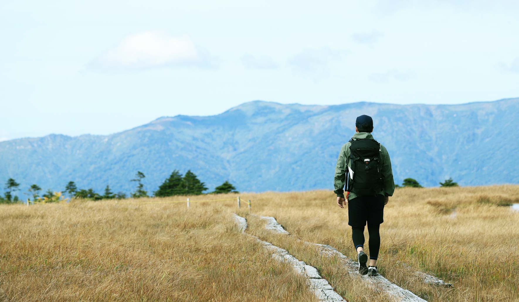
 Mt. Taishaku
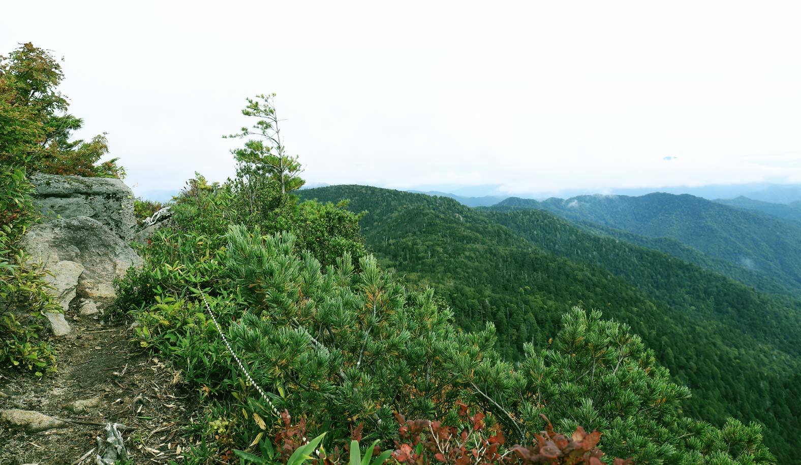
From Mt. Tashiro, it normally takes 1 hour and 30 minutes one way to reach the summit of Mt. Taishaku, the top peak of the Taishaku mountain range. Mt. Taishaku is located deep in the mountains of the Taishaku Mountain Range, which separates the Pacific and Sea of Japan water systems. The route from Mt. Tashiro is a ridge trail of this mountain range. As you approach the summit, the view opens up and offers a panoramic view of the mountains in both directions.
It is a short but steep ascent.
The distance from the Sarukura trailhead to the top of Mt. Tashiro is approximately two kilometers, with an altitude difference of about 530 meters. But it is not to be underestimated. The climb is much steeper than the numbers suggest. Enjoy the trek while having enough energy for the descent.
Mt. Taishaku should be left out if you are entering the mountain late.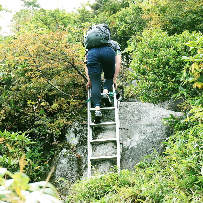
Those who are physically fit should definitely go to Mt.Taishaku, but be careful not to overdo it. Allow three to four extra hours.
There are two places with ladders, so be careful. Descending the mountain in a hurry may result in an accident.
